Department of Geography & Planning
GIS Lab
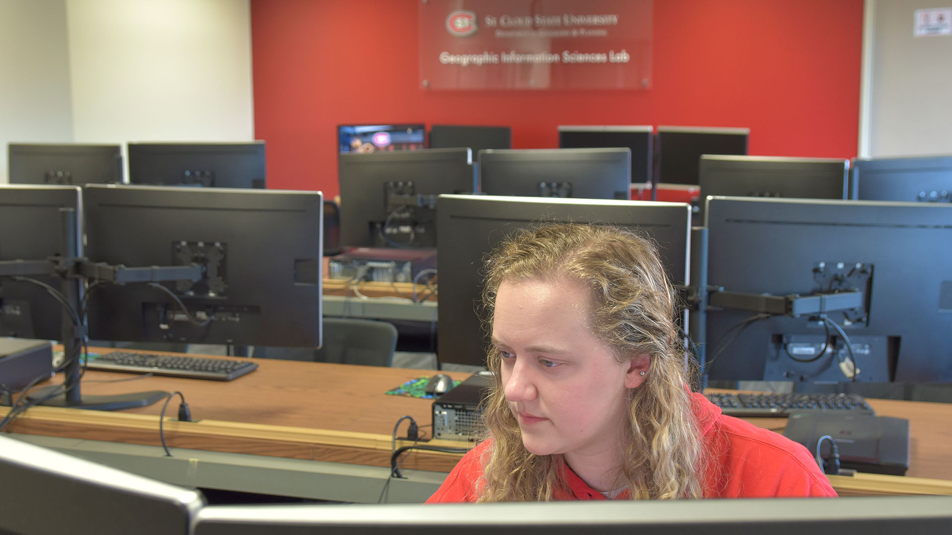
The GIS lab, located in Stewart Hall 310, is equipped with 25 dual monitor work stations that are utilized in all GIS classes at St. Cloud State. Students use the latest versions of the several of the most widely used GIS programs. Many classes utilizes ESRI’s ArcGIS. ArcGIS is the most widely used GIS software in the United States. ERDAS Imagine is utilized in courses that analyze satellite imagery. The full suite of Adobe software such as Illustrator and Photoshop are available for use in digital cartography classes. Other software that is available includes Autodesk Civil 3D, which is used extensively in the land surveying classes.
Student who want to pursue a career using GIS can choose from a variety of undergraduate and graduate programs to suit their goals.
GIS Lab featured software
ArcGIS
ArcGIS is an Esri geographic information systems (GIS) mapping system used by industry, government, public utilities and tech start-ups.
ERDAS IMAGINE
ERDAS IMAGINE is a geospatial data authoring system produced by Hexagon Geospatial that supplies tools for remote sensing, photogrammetry and GIS.
Adobe Creative Cloud
Adobe Creative Cloud is a suite of software tools to transform photos, design graphics and illustrations, edit videos and create UX designs among other functions.
AutoCad Civil 3D
AutoCad Civil 3D is a civil engineering design and documentation software by AutoDesk.
Surfer
Surfer is a contouring and surface modeling package produced by GoldenSoftware. It is used for terrain modeling, bathymetic modeling, landscape visualization, surface analysis, contour mapping and more.